
Dosiye:AtacamaDesertByFrode.jpg

Ingano yiri shusho:800 × 519 pixels. Indi ingano zagutse: 320 × 208 pixels | 640 × 416 pixels | 1.024 × 665 pixels | 1.280 × 831 pixels | 2.156 × 1.400 pixels.
Dosiye nyirizina (2.156 × 1.400 pixels, file size: 2,19 MB, MIME type: image/jpeg)
| Umwirondoro |
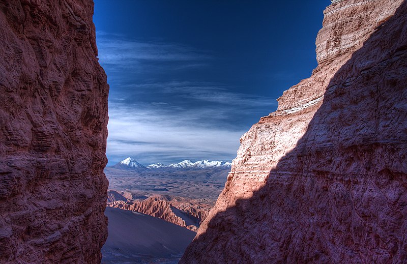
English: View over the Atacama desert
Deutsch: Blick von einem Pass in der Cordillera de la Sal in Richtung Nordosten über die große Düne im Valle de la Muerte bis zur schneebedeckten Sairecabur Vulkangruppe in der Andenordillere. San Pedro de Atacama, Chile |
| Itariki | |
| Inkomoko | Own work |
| Umwanditsi | Frodosleveland |
| Permission (Reusing this file) |
I, the copyright holder of this work, hereby publish it under the following license: This file is licensed under the Creative Commons Attribution-Share Alike 4.0 International license.
|
| Camera location | | View this and other nearby images on: OpenStreetMap |
|---|
| Annotations | This image is annotated: View the annotations at Commons |
Amateka ya dosiye
Kanda kwitariki/n'isaha kugirango ufungure dosiye nkuko yagaragaye cyagihe.
| Itariki/Isaha | Ifoto ntoya | Ibipimo | Umukoresha | Comment | |
|---|---|---|---|---|---|
| muri iki gihe | 17:03, 16 Kanama 2014 | | 2.156 × 1.400 (2,19 MB) | Frodosleveland | User created page with UploadWizard |
Ikoreshwa rya dosiye
Ibi bikurikira abakoresha urupapuro iyi dosiye:
Ikoreshwa rya dosiye rusange
Izindi wiki zikurikira zikoresha iyi dosiye:
- Ikoreshwa kuri ca.wikipedia.org
- Ikoreshwa kuri ckb.wikipedia.org
- Ikoreshwa kuri cy.wikipedia.org
- Ikoreshwa kuri en.wikipedia.org
- Ikoreshwa kuri fr.wikipedia.org
- Ikoreshwa kuri gcr.wikipedia.org
- Ikoreshwa kuri gu.wikipedia.org
- Ikoreshwa kuri kw.wikipedia.org
- Ikoreshwa kuri ln.wikipedia.org
- Ikoreshwa kuri min.wikipedia.org
- Ikoreshwa kuri om.wikipedia.org
- Ikoreshwa kuri or.wikipedia.org
- Ikoreshwa kuri simple.wikipedia.org
- Ikoreshwa kuri sr.wikipedia.org
- Ikoreshwa kuri sw.wikipedia.org
- Ikoreshwa kuri uk.wikipedia.org