
Dosiye:Tanzania Shinyanga location map.svg

Size of this PNG preview of this SVG file: 630 × 600 pixels. Indi ingano zagutse: 252 × 240 pixels | 504 × 480 pixels | 807 × 768 pixels | 1.076 × 1.024 pixels | 2.152 × 2.048 pixels | 3.302 × 3.143 pixels.
Dosiye nyirizina (SVG file, nominally 3.302 × 3.143 pixels, file size: 1,04 MB)
Incamake
| Umwirondoro | |
| Itariki | |
| Inkomoko | File:Tanzania location map.svg by Sémhur under licence FreeArt or CC-BY-SA |
| Umwanditsi | Sémhur |
| Other versions | |
| Attribution (required by the license) | © Sémhur / Wikimedia Commons / |
| SVG | W3C-validity not checked. |
| Graphic Lab |
| Object location | | View this and other nearby images on: OpenStreetMap |
|---|
Uruhushya
I, the copyright holder of this work, hereby publish it under the following licenses:
| Copyleft: This work of art is free; you can redistribute it and/or modify it according to terms of the Free Art License. You will find a specimen of this license on the Copyleft Attitude site as well as on other sites. |
This file is licensed under the Creative Commons Attribution-Share Alike 4.0 International, 3.0 Unported, 2.5 Generic, 2.0 Generic and 1.0 Generic license.
- Ufite umudendezo:
- gusangiza – to copy, distribute and transmit the work
- to remix – gutangira ibikorwa
- Under the following conditions:
- umurimo – You must give appropriate credit, provide a link to the license, and indicate if changes were made. You may do so in any reasonable manner, but not in any way that suggests the licensor endorses you or your use.
- imigabane isa – If you remix, transform, or build upon the material, you must distribute your contributions under the same or compatible license as the original.
You may select the license of your choice.
Amateka ya dosiye
Kanda kwitariki/n'isaha kugirango ufungure dosiye nkuko yagaragaye cyagihe.
| Itariki/Isaha | Ifoto ntoya | Ibipimo | Umukoresha | Comment | |
|---|---|---|---|---|---|
| muri iki gihe | 19:36, 28 Kamena 2017 | | 3.302 × 3.143 (1,04 MB) | Sémhur | Update with Songwe region |
| 15:36, 14 Ukuboza 2013 |  | 3.096 × 2.947 (1,38 MB) | Sémhur | Updated with 2012 new region boundaries | |
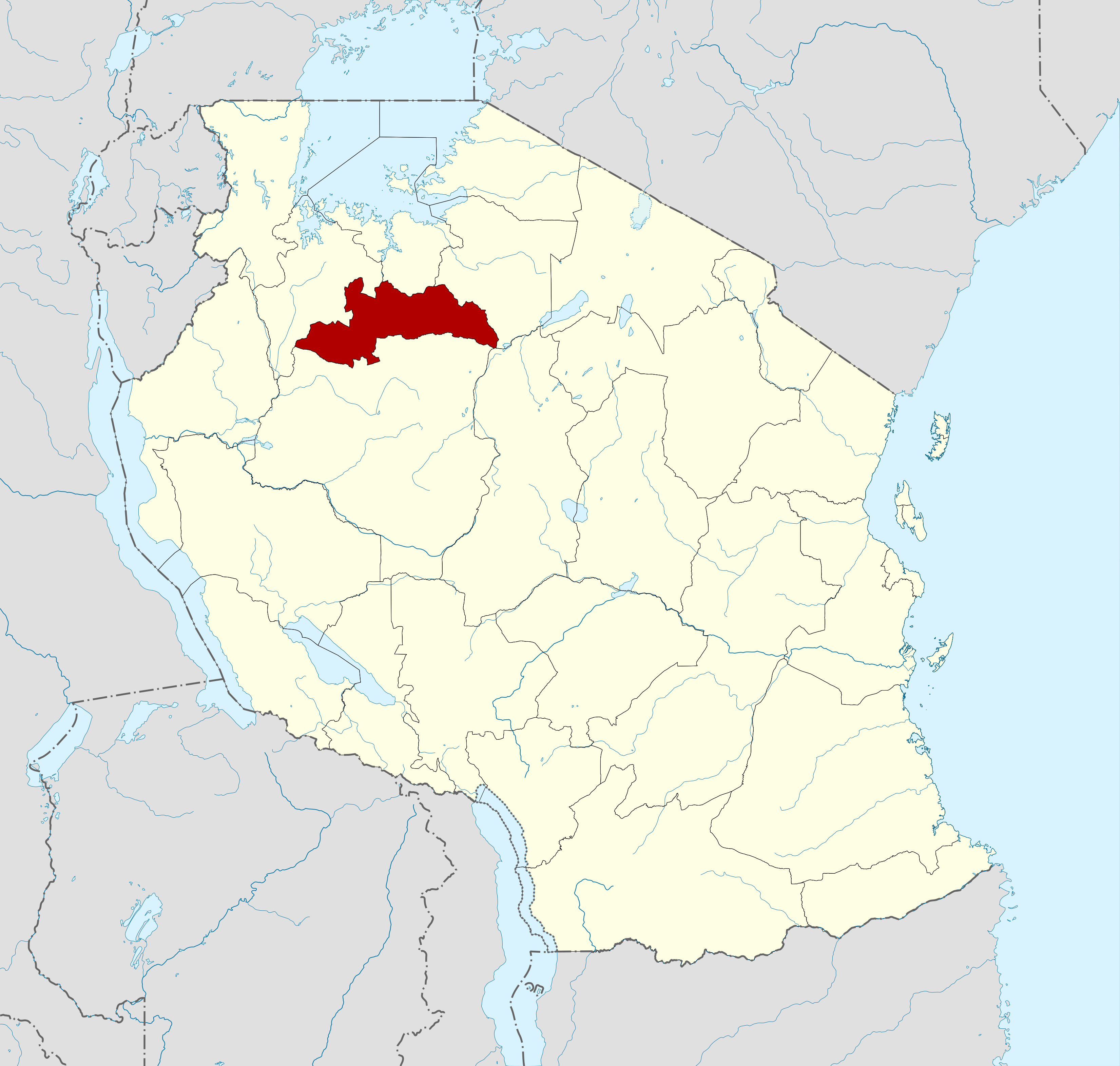
| 10:32, 3 Gicurasi 2009 |  | 3.096 × 2.947 (829 KB) | Sémhur | =={{int:summary}}== {{Information |Description= {{en|1=Locator map of Shinyanga region, Tanzania.}} {{es|1=Mapa de localización de la provincia de Shinyanga, Tanzania.}} {{fr|1=Carte de localisation de la région de Shin |
Ikoreshwa rya dosiye
Ibi bikurikira abakoresha urupapuro iyi dosiye:
Ikoreshwa rya dosiye rusange
Izindi wiki zikurikira zikoresha iyi dosiye:
- Ikoreshwa kuri an.wikipedia.org
- Ikoreshwa kuri ar.wikipedia.org
- Ikoreshwa kuri avk.wikipedia.org
- Ikoreshwa kuri bn.wikipedia.org
- Ikoreshwa kuri ca.wikipedia.org
- Ikoreshwa kuri cs.wikipedia.org
- Ikoreshwa kuri da.wikipedia.org
- Ikoreshwa kuri de.wikipedia.org
- Ikoreshwa kuri el.wikipedia.org
- Ikoreshwa kuri en.wikipedia.org
- Ikoreshwa kuri eo.wikipedia.org
- Ikoreshwa kuri es.wikipedia.org
- Ikoreshwa kuri et.wikipedia.org
- Ikoreshwa kuri eu.wikipedia.org
- Ikoreshwa kuri fa.wikipedia.org
- Ikoreshwa kuri fi.wikipedia.org
- Ikoreshwa kuri frr.wikipedia.org
- Ikoreshwa kuri fr.wikipedia.org
- Ikoreshwa kuri gl.wikipedia.org
- Ikoreshwa kuri ha.wikipedia.org
- Ikoreshwa kuri he.wikipedia.org
- Ikoreshwa kuri id.wikipedia.org
- Ikoreshwa kuri ig.wikipedia.org
- Ikoreshwa kuri it.wikipedia.org
- Ikoreshwa kuri ja.wikipedia.org
- Ikoreshwa kuri ka.wikipedia.org
- Ikoreshwa kuri ko.wikipedia.org
- Ikoreshwa kuri lv.wikipedia.org
- Ikoreshwa kuri nl.wikipedia.org
- Ikoreshwa kuri nn.wikipedia.org
- Ikoreshwa kuri no.wikipedia.org
- Ikoreshwa kuri pl.wikipedia.org
- Ikoreshwa kuri pnb.wikipedia.org
- Ikoreshwa kuri ru.wikipedia.org
- Ikoreshwa kuri sr.wikipedia.org
View more global usage of this file.