
Dosiye:Ngoma district map.jpg

Ingano yiri shusho:457 × 600 pixels. Indi ingano zagutse: 183 × 240 pixels | 366 × 480 pixels | 585 × 768 pixels | 780 × 1.024 pixels | 1.560 × 2.048 pixels | 3.779 × 4.960 pixels.
Dosiye nyirizina (3.779 × 4.960 pixels, file size: 1,06 MB, MIME type: image/jpeg)
Incamake
| Umwirondoro |
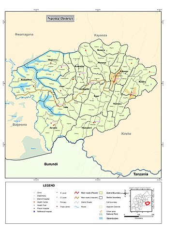
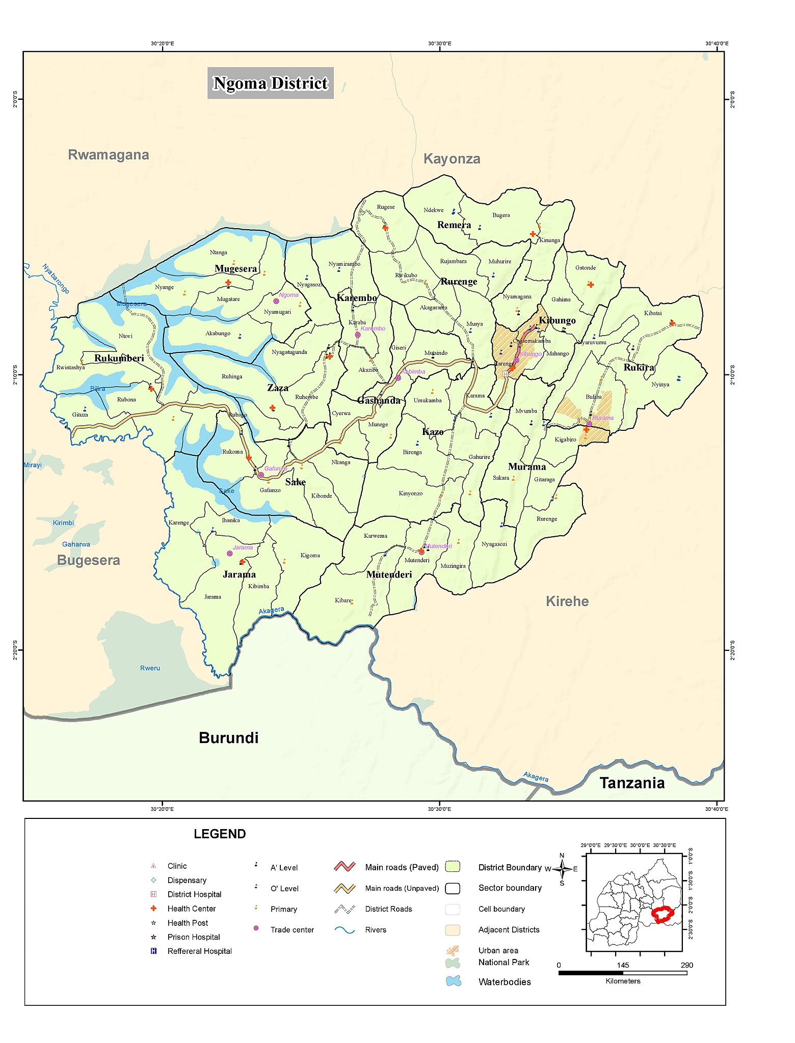
Nederlands: Kaart van district Ngoma Rwanda
English: Map of Ngoma district Rwanda |
| Itariki | |
| Inkomoko | http://geodata-nisr-rwanda.opendata.arcgis.com/datasets/ed281d2205224d138d9307163cab184f |
| Umwanditsi | National Institute of Statistics Rwanda |
Uruhushya
| This work has been released into the public domain by its author, National Institute of Statistics Rwanda. This applies worldwide. In some countries this may not be legally possible; if so: National Institute of Statistics Rwanda grants anyone the right to use this work for any purpose, without any conditions, unless such conditions are required by law.
|
Amateka ya dosiye
Kanda kwitariki/n'isaha kugirango ufungure dosiye nkuko yagaragaye cyagihe.
| Itariki/Isaha | Ifoto ntoya | Ibipimo | Umukoresha | Comment | |
|---|---|---|---|---|---|
| muri iki gihe | 11:20, 21 Kanama 2019 | | 3.779 × 4.960 (1,06 MB) | Kevin 990 | User created page with UploadWizard |
Ikoreshwa rya dosiye
Ibi bikurikira abakoresha urupapuro iyi dosiye:
Ikoreshwa rya dosiye rusange
Izindi wiki zikurikira zikoresha iyi dosiye:
- Ikoreshwa kuri de.wikipedia.org
- Ikoreshwa kuri nl.wikipedia.org
- Ikoreshwa kuri sw.wikipedia.org