
Dosiye:Tibet-claims.jpg

No higher resolution available.
Tibet-claims.jpg (432 × 305 pixels, file size: 203 KB, MIME type: image/jpeg)
Incamake
| Description |
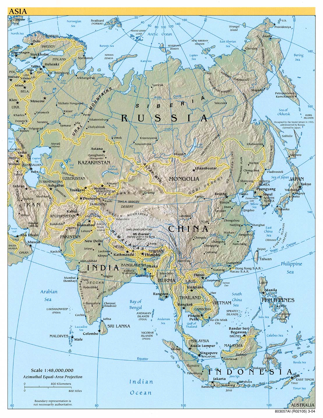
English: A map showing various claims of the extant of Tibet. |
||||||||
| Itariki | |||||||||
| Inkomoko | http://www.lib.utexas.edu/maps/middle_east_and_asia/asia_ref04.jpg | ||||||||
| Creator |
|
||||||||
| Permission (Reusing this file) |
|
||||||||
| Georeferencing | If inappropriate please set warp_status = skip to hide. | ||||||||
| Other versions |
|
||||||||


| "Greater Tibet" as claimed by Tibetan exile groups | ||||||
| Tibetan autonomous areas, as designated by China | ||||||
| Tibet Autonomous Region, within China | ||||||
| Chinese-controlled, claimed by India as part of Aksai Chin | ||||||
| Indian-controlled, parts claimed by China as South Tibet | ||||||
| Other areas historically within the Tibetan cultural sphere |
Amateka ya dosiye
Kanda kwitariki/n'isaha kugirango ufungure dosiye nkuko yagaragaye cyagihe.
| Itariki/Isaha | Ifoto ntoya | Ibipimo | Umukoresha | Comment | |
|---|---|---|---|---|---|
| muri iki gihe | 08:32, 6 Gicurasi 2018 | | 432 × 305 (203 KB) | Trecătorul răcit | Tibetan linguistic & cultural areas in Nepal |
| 18:47, 15 Gashyantare 2015 |  | 432 × 305 (103 KB) | Denniss | Reverted to version as of 00:47, 25 June 2005 | |
| 15:25, 15 Gashyantare 2015 |  | 432 × 305 (95 KB) | 6-A04-W96-K38-S41-V38 | nouvel essai | |
| 15:22, 15 Gashyantare 2015 |  | 432 × 305 (95 KB) | 6-A04-W96-K38-S41-V38 | ajouter les zones de l'aksai chin contrôlées par la Chine et faisant partie du Xinjiang et revendiquée par l'Inde comme faisant partie du Jammu-et-Cachemire (couleur pourpre) | |
| 00:47, 25 Kamena 2005 |  | 432 × 305 (103 KB) | Ran | ''en:'' Various claims on the extent of Tibet. Made by uploader from [http://www.lib.utexas.edu/maps/middle_east_and_asia/asia_ref04.jpg]. ''zh:'' 各方對西藏地區的範圍所提出的説法。由上傳者所作,底圖是[http://www.lib.utexas.edu/ |
Ikoreshwa rya dosiye
Ibi bikurikira abakoresha urupapuro iyi dosiye:
Ikoreshwa rya dosiye rusange
Izindi wiki zikurikira zikoresha iyi dosiye:
- Ikoreshwa kuri af.wikipedia.org
- Ikoreshwa kuri ang.wikipedia.org
- Ikoreshwa kuri ast.wikipedia.org
- Ikoreshwa kuri ba.wikipedia.org
- Ikoreshwa kuri bcl.wikipedia.org
- Ikoreshwa kuri be-tarask.wikipedia.org
- Ikoreshwa kuri be.wikipedia.org
- Ikoreshwa kuri bh.wikipedia.org
- Ikoreshwa kuri bn.wikipedia.org
- Ikoreshwa kuri bo.wikipedia.org
- Ikoreshwa kuri br.wiktionary.org
- Ikoreshwa kuri bs.wikipedia.org
- Ikoreshwa kuri ca.wikipedia.org
- Ikoreshwa kuri ca.wiktionary.org
- Ikoreshwa kuri cdo.wikipedia.org
- Ikoreshwa kuri ckb.wikipedia.org
- Ikoreshwa kuri cs.wikipedia.org
- Ikoreshwa kuri cy.wikipedia.org
- Ikoreshwa kuri da.wikipedia.org
- Ikoreshwa kuri de.wikipedia.org
- Ikoreshwa kuri de.wiktionary.org
- Ikoreshwa kuri diq.wikipedia.org
- Ikoreshwa kuri el.wikipedia.org
- Ikoreshwa kuri en.wikipedia.org
- Dalai Lama
- Tibet
- Talk:Tibet/Archive 5
- Wikipedia:Graphics Lab/Image workshop/Archive/Aug 2008
- Etymology of Tibet
- Talk:2008 Tibetan unrest/Archive 1
- Talk:South Tibet dispute/Archive 1
- Lhakar
- Talk:Arunachal Pradesh/Archive 1
- User:SpanishSnake/sandbox/2
- Wikipedia:Graphics Lab/Map workshop/Archive/Aug 2023
- Ikoreshwa kuri en.wikinews.org
- Ikoreshwa kuri en.wikiquote.org
- Ikoreshwa kuri en.wiktionary.org
- Ikoreshwa kuri es.wikipedia.org
- Ikoreshwa kuri eu.wikipedia.org
- Ikoreshwa kuri fa.wikipedia.org
- Ikoreshwa kuri fi.wikipedia.org
- Ikoreshwa kuri fr.wikipedia.org
- Ikoreshwa kuri fr.wiktionary.org
- Ikoreshwa kuri fy.wikipedia.org
- Ikoreshwa kuri ga.wikipedia.org
View more global usage of this file.