
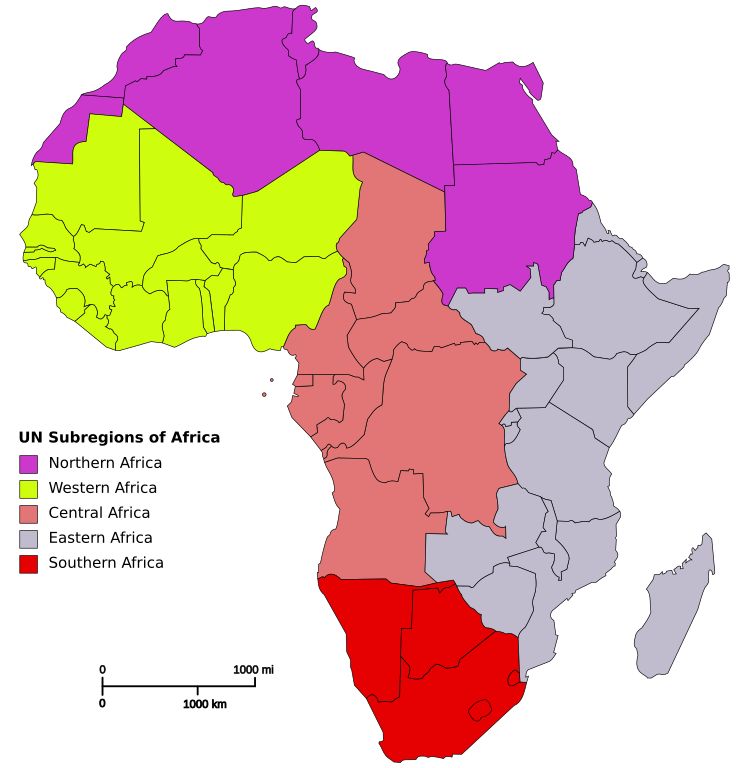
Dosiye:Africa map regions.svg

Size of this PNG preview of this SVG file: 585 × 600 pixels. Indi ingano zagutse: 234 × 240 pixels | 468 × 480 pixels | 749 × 768 pixels | 999 × 1.024 pixels | 1.998 × 2.048 pixels | 1.200 × 1.230 pixels.
Dosiye nyirizina (SVG file, nominally 1.200 × 1.230 pixels, file size: 96 KB)
Incamake
| Umwirondoro | Based on Image:Blank_Map-Africa.svg by User:Andreas 06 |
| Itariki | 14 Gashyantare 2007 (original upload date) |
| Inkomoko | No machine-readable source provided. Own work assumed (based on copyright claims). |
| Umwanditsi | No machine-readable author provided. Mvc assumed (based on copyright claims). |
Uruhushya
| I, the copyright holder of this work, release this work into the public domain. This applies worldwide. In some countries this may not be legally possible; if so: I grant anyone the right to use this work for any purpose, without any conditions, unless such conditions are required by law. |
Amateka ya dosiye
Kanda kwitariki/n'isaha kugirango ufungure dosiye nkuko yagaragaye cyagihe.
| Itariki/Isaha | Ifoto ntoya | Ibipimo | Umukoresha | Comment | |
|---|---|---|---|---|---|
| muri iki gihe | 12:36, 17 Gicurasi 2023 | | 1.200 × 1.230 (96 KB) | Illchy | File uploaded using svgtranslate tool (https://svgtranslate.toolforge.org/). Added translation for id. |
| 12:52, 9 werurwe 2015 |  | 1.200 × 1.230 (91 KB) | LukeSurl | Update, splitting Sudan into Sudan (Northern Africa) and Southern Sudan (Eastern Africa). (Actually uploading the new version this time) | |
| 12:50, 9 werurwe 2015 |  | 1.200 × 1.230 (91 KB) | LukeSurl | Update, splitting Sudan into Sudan (Northern Africa) and Southern Sudan (Eastern Africa). | |
| 20:42, 14 Gashyantare 2007 |  | 1.200 × 1.230 (91 KB) | Mvc | Based on Image:Blank_Map-Africa.svg by User:Andreas 06 |
Ikoreshwa rya dosiye
Ibi bikurikira abakoresha urupapuro iyi dosiye:
Ikoreshwa rya dosiye rusange
Izindi wiki zikurikira zikoresha iyi dosiye:
- Ikoreshwa kuri ar.wikipedia.org
- Ikoreshwa kuri cv.wikipedia.org
- Ikoreshwa kuri en.wikipedia.org
- Ikoreshwa kuri es.wikipedia.org
- Ikoreshwa kuri es.wikibooks.org
- Ikoreshwa kuri eu.wikipedia.org
- Ikoreshwa kuri fa.wikipedia.org
- Ikoreshwa kuri fi.wikipedia.org
- Ikoreshwa kuri gl.wikipedia.org
- Ikoreshwa kuri ha.wikipedia.org
- Ikoreshwa kuri id.wikipedia.org
- Ikoreshwa kuri lt.wikipedia.org
- Ikoreshwa kuri ms.wikipedia.org
- Ikoreshwa kuri om.wikipedia.org
- Ikoreshwa kuri pt.wikipedia.org
- Ikoreshwa kuri ru.wikipedia.org
- Ikoreshwa kuri sl.wiktionary.org
- Ikoreshwa kuri sv.wikipedia.org
- Ikoreshwa kuri uk.wiktionary.org
- Ikoreshwa kuri yo.wikipedia.org
- Ikoreshwa kuri zh.wikipedia.org